Welcome to The Happy Wanderer Holiday Resort
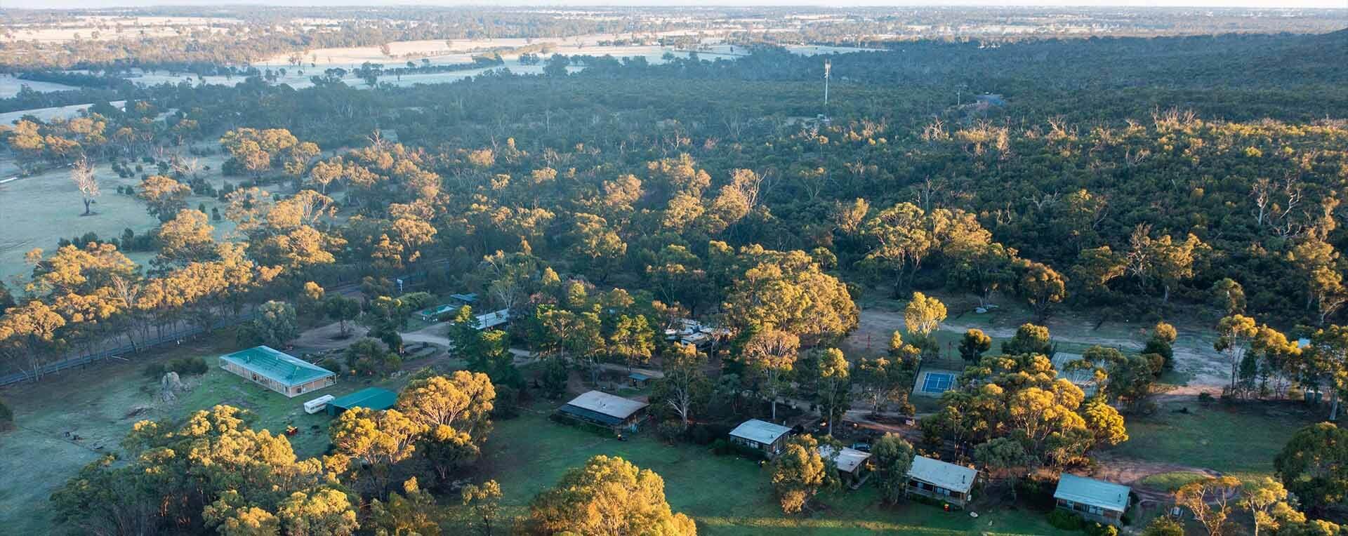
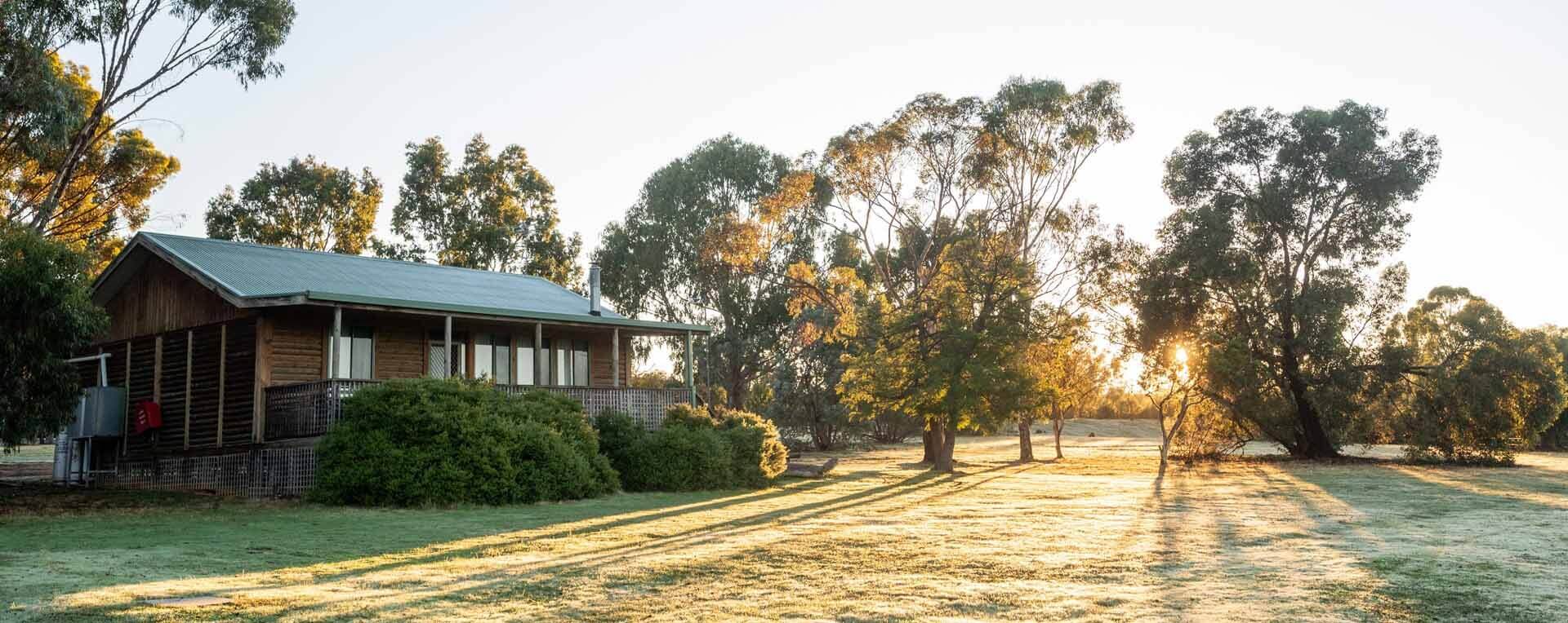
Your “home away from home”, the Happy Wanderer Holiday Resort is a small family owned and operated tourist resort centrally located between Horsham and Halls Gap on a sprawling 40 acres of attractive bushland in Wartook Valley adjacent to the Grampians National Park.
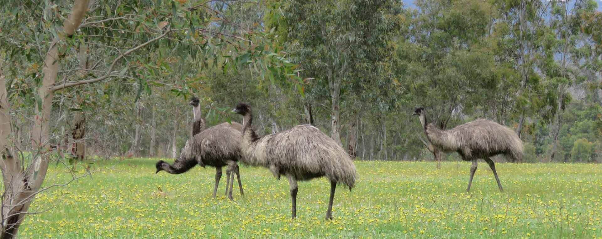
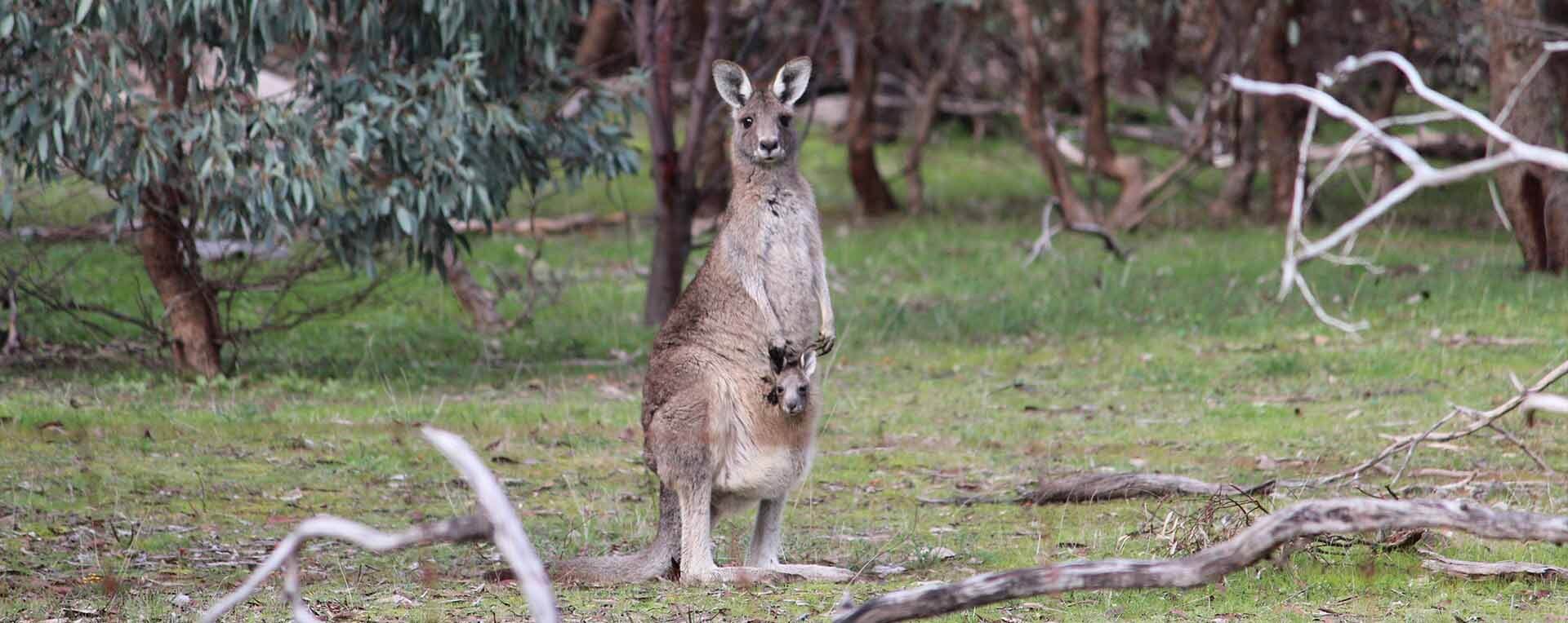
An abundance of native trees and shrubs are planted throughout the grounds, attracting a great variety of wildlife including birds and a large population of kangaroos and visiting emus.
A place to truly disconnect and be at one with nature and the natural elements of air, mountains, sun and breeze, to focus on your basic needs of physical and emotional peace and relaxation.


