Walks
Billimina Shelter
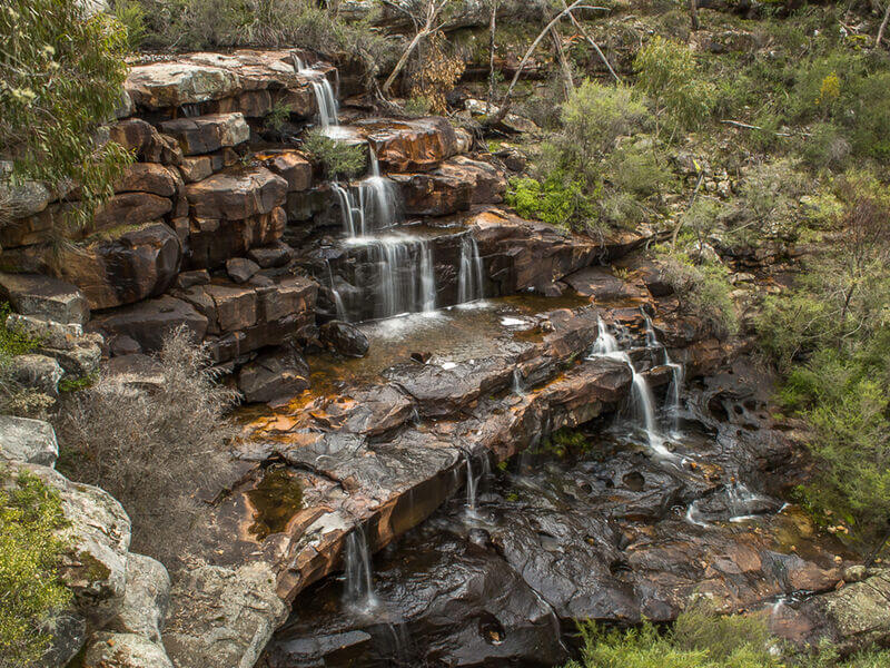
The walk begins at the Buandik picnic spot and takes you through the Billimina Creek to the Buandik Falls.
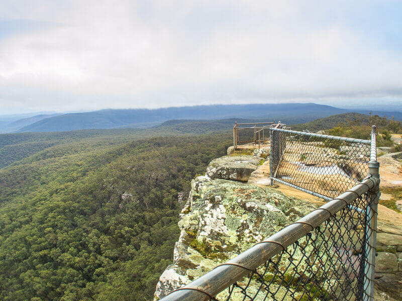
Boroka Lookout
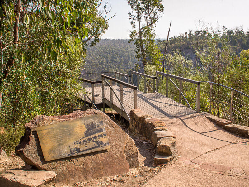
An easy stroll through open stringybark forest leads to two viewing platforms that look down the Halls Gap valley and out onto the eastern plains, and is suitable for people with limited mobility
Burrong Falls
The waterfalls itself is nestled in a bush that entails a 300m walk from the car park. Visitors who enjoy an adventure in off-the-beaten-path destinations will appreciate the tranquillity offered by this area. Whether you are looking for so
Cranage's Lookout
Cranage's Lookout is easy to get to along a paved track, and is a mere 260 metres from the Mackenzie Falls parking and picnic area on Wartook Road.
Gulgurn Manja Shelter
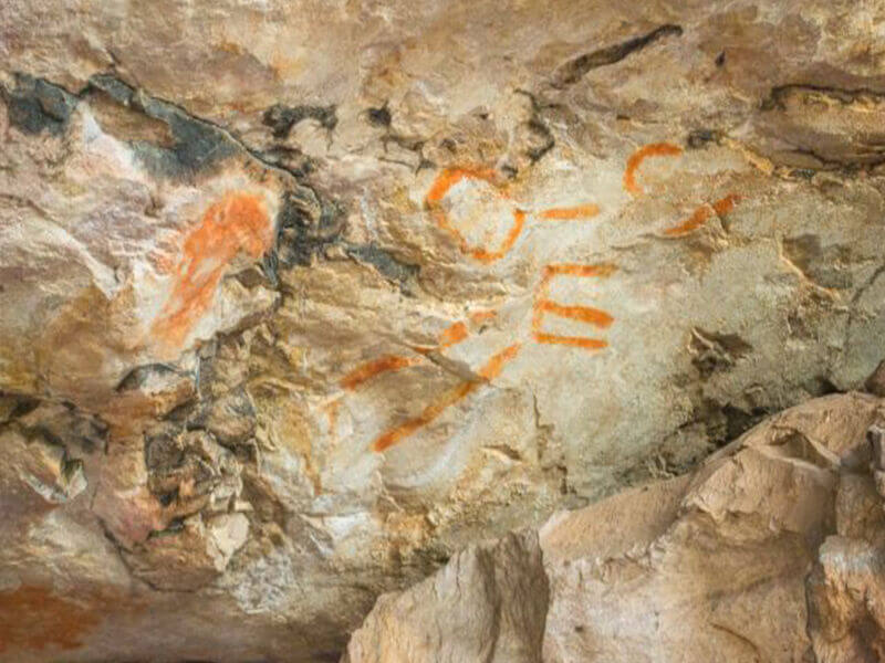
A short up-hill stroll leads to Gulgurn Manja Shelter - meaning ;‘Hands of Young People’.
Signs tell some of the stories and legends of the Jardwadjali people and the mountains they call Gariwerd.
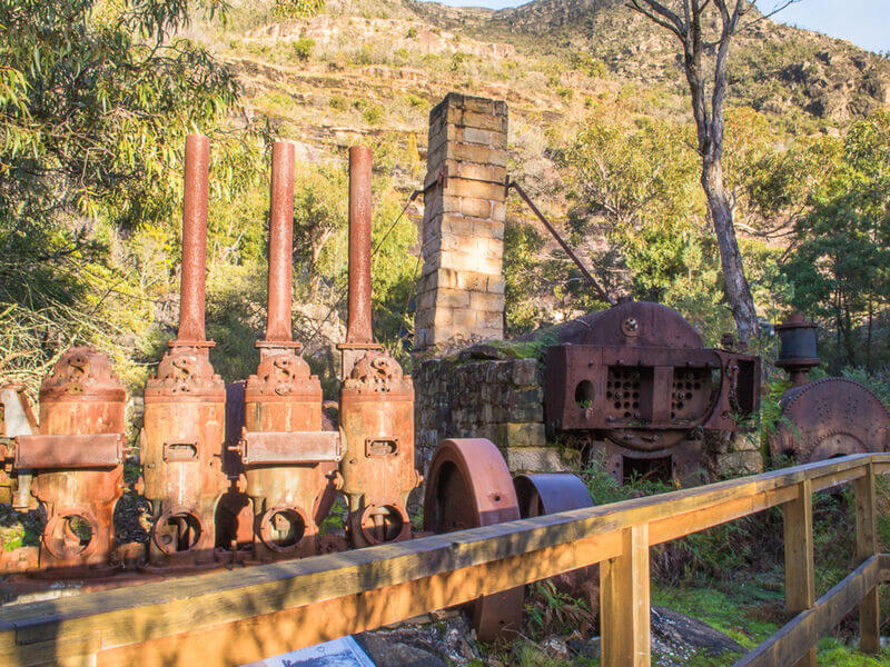
Heatherlie Quarry Heritage Site
A short, easy walking track takes you from the carpark off Mt Zero Road to the site of the site of the quarry. Detailed information signs are located alongside significant areas.
Heatherlie Quarry is a fantastic, educational place to visit
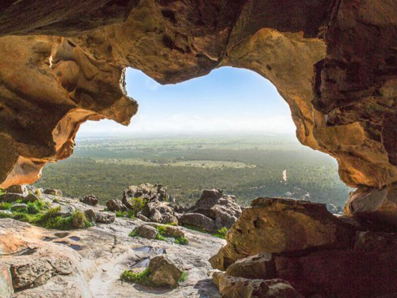
Hollow Mountain
Follow the sign-posted track through a densely vegetated gully to start climbing through a woodland of banksias, grass-trees, native pines and eucalypts.
Mt Difficult - Briggs Bluff
This walk, suitable for fit and energetic walkers, can involve water crossings, slippery track surfaces, rock hopping and rock scrambling.
Mt Stapylton Loop
This walk, suitable for fit and energetic walkers, can involve water crossings, slippery track surfaces, rock hopping and rock scrambling.
Mt Stapylton Walk
This walk, suitable for fit and energetic walkers, can involve water crossings, slippery track surfaces, rock hopping and rock scrambling.
Mt Zero Walk
From the picnic area, carefully cross the Halls Gap-Mt Zero Road to the sign-posted walking track. Track markers guide you up the rocky hillside.
Ngamadjidj Shelter
The walk from the carpark to Ngamadjidj Shelter is short and suitable for people with limited mobility.
Reeds Lookout
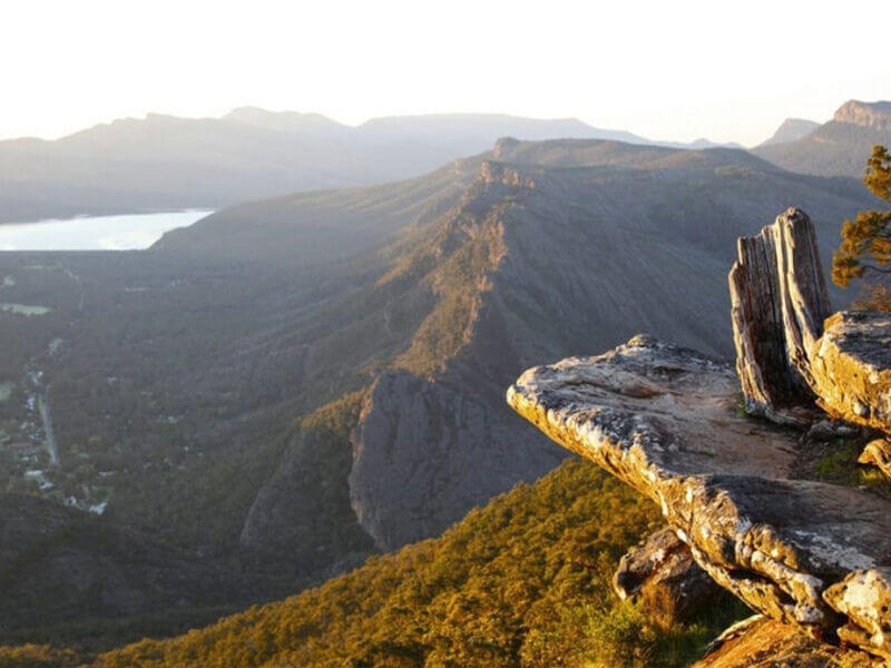
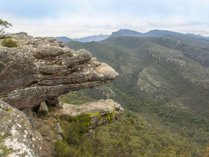
Follow the path around the gate and along the sealed road to the summit of Reeds Lookout. From this magnificent lookout you will receive breathtaking views over Victoria Valley, Victoria Range, Serra Range, Lake Wartook and the Mt Difficult
The Balconies
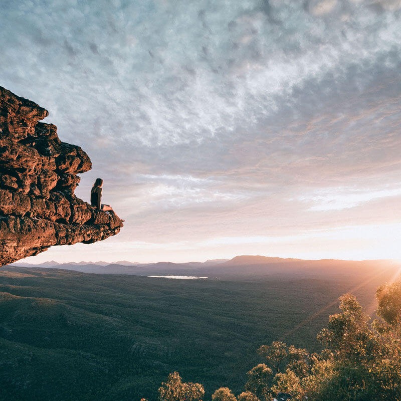
The track climbs gently from the carpark, through rock outcrops and a stringybark forest to the Balconies lookout. From this lookout there are panoramic views over the Victoria Valley.
Northern Grampians - A great opportunity to investigate the Northern section of the Grampians. You can take a leisurely stroll or a challenging hike to experience the wonderful colours of the Northern area. Take in aboriginal culture and study the wonderful flora. Magnificent views.
Wartook Valley - The main walks in this area are either associated with the MacKenzie River, or the tops of the ranges surrounding the Valley. Follow wonderful riverine habitat to MacKenzie Falls or experience magnificent views and dramatic vistas over large sections of the Park.
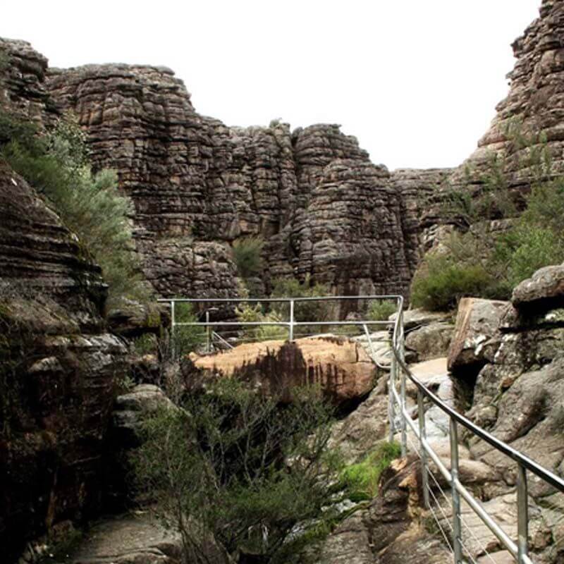
Wonderland - A very popular walking area where some of the best and most accessible rock formations may be experienced. Home of the ever popular Pinnacle Walk.
Southern Grampians - A number of dramatic and strenuous walks which reward one with stunning views in all directions. The Major Mitchell Plateau is the best Alpine community walk in the Grampians and the views from the summit of Mt William, are spectacular.


